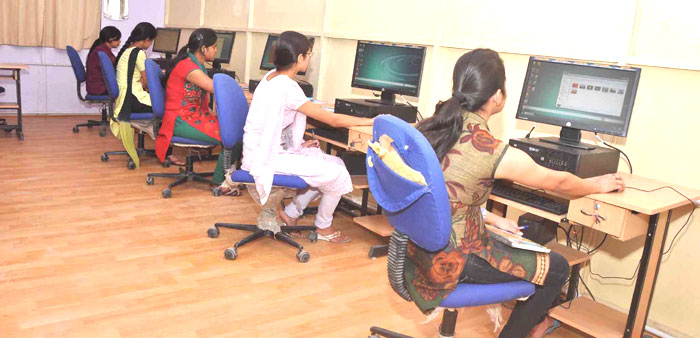
The development of GIS technology and inclusion of a number of courses in GIS and remote sensing in academic programmes at undergraduate and postgraduate level are noteworthy. Keeping in mind of the above importance D.B.S. (P.G.) College has established a remote sensing and GIS lab in the department of Geography. The Department has purchased Geomatica software made by PCI Geomatics, the leading remote sensing and GIS software package in World.

Most of today’s Geometric applications are interdisciplinary; remote sensing, image processing, GIS and cartography all must be used to extract information and provide answers from existing data. Rolta Geomatica includes all state-of-the-art tools for geometric correction, data visualization and editing, image classification, cartographic map production and more, including applications for raster spatial analysis, radar analysis, hyper spectral analysis along with a comprehensive desktop automation environment.
This educational suite is a total package which includes tools for Geometrical Correction, Data Visualization and Editing, Image Classification, Cartographic Map Production, Raster Spatial Analysis, Radar Analysis, Hyper spectral Analysis, along with a comprehensive desktop automation environment etc.
It also includes additional features like Algorithm librarian (with additional Hyper spectral data, Radar data and Raster spatial analysis tools), Orthoengine (Simple Geometric Correction and Mosaicking), FLY (Terrain Visualization) and Desktop Production (Visual Modeler & EASI) and Ortho data processing for Air photo, Satellite Ortho image, Radar image, Ortho Production Toolkit along with Auto DEM creation.